Sunday,
January 8, 2017
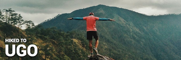
After missing out on climbing this mountain last year, I just had to get it done ASAP. Fortunately, there was one last slot for an Ugo dayhike on my feed. I grabbed it immediately after my initial plans for the weekend got cancelled. Thank you, universe, for the timing. Finally, I got the chance to walk Mt. Ugo’s trails! Bucketlist mountain crossed off.
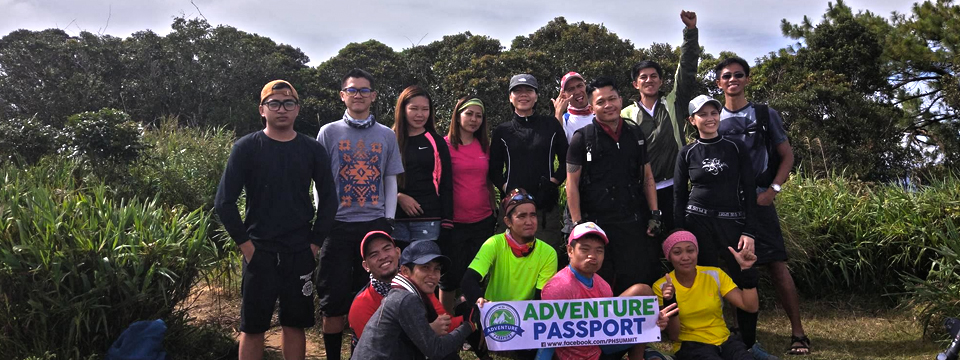
The organizer was Ate Hannah of Adventure Passport, who also organized my Mt. Lubog and Mt. Ulap climbs so I know I’m in good hands. I didn’t know anyone else in the group but that’s the beauty of hiking, you get to meet people you’d otherwise just pass by.
We assembled at Jollibee Farmers in Cubao and waited for the rest of the group to arrive. Then we had a private van take us to the jumpoff in Kayapa, Nueva Vizcaya. We arrived earlier than expected so we got a few moments of sleep in before the stores opened. We had breakfast and bought our packed lunches. It was freezing and once again I found myself miserable.
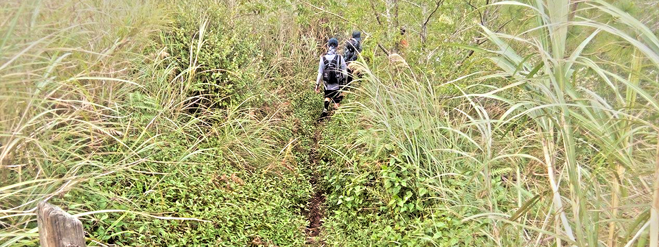
The trek started with a concrete climb through residential areas. Here, I was already feeling my legs straining because my calves really despise concrete uphills. The way was made up of concrete steps until we reached the open trail. Here, my legs started to relax and I began to enjoy the hike. With the effort I was making, the cool morning wind was nice to the touch and wasn’t as paralyzing anymore.
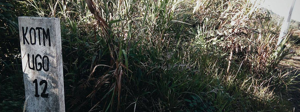
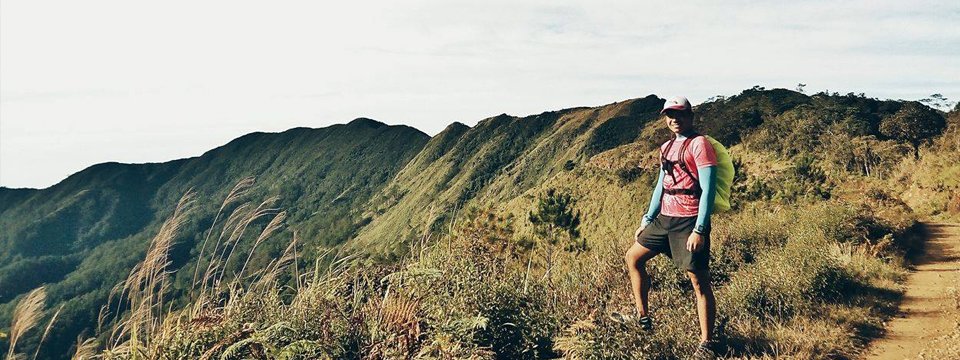
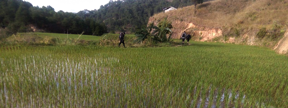
After about an hour of hiking through wonderful forested trails, we reached Indupit village. Here we had a view of the distant Mt. Pulag, complete with the sea of clouds, as well as Mt. Purgatory and its peaks. We waited a bit for the rest of the group and then decided to continue on. After Indupit village, I found a route marker that said that we were 12 kilometers away from the summit. We continued on through mountain sides and communities. I have to say that the trail here is very runnable (reminiscent of the trails of Mt. Balagbag minus the mud).
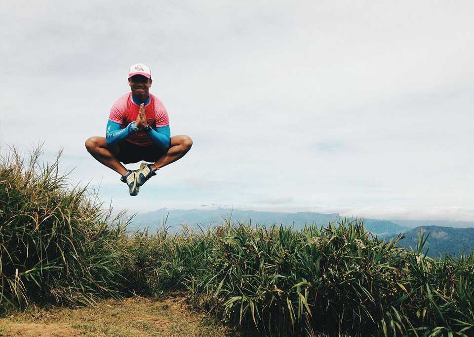
This hike also serves as my recon for the upcoming Mt. Ugo Marathon this February; and judging from the route, it’s going to be a tough battle uphill before it becomes a breezy run downhill. But the views in the area are very beautiful and I know that they’ll help me forget the pain for even a while. We couldn’t resist taking pictures along the trail.
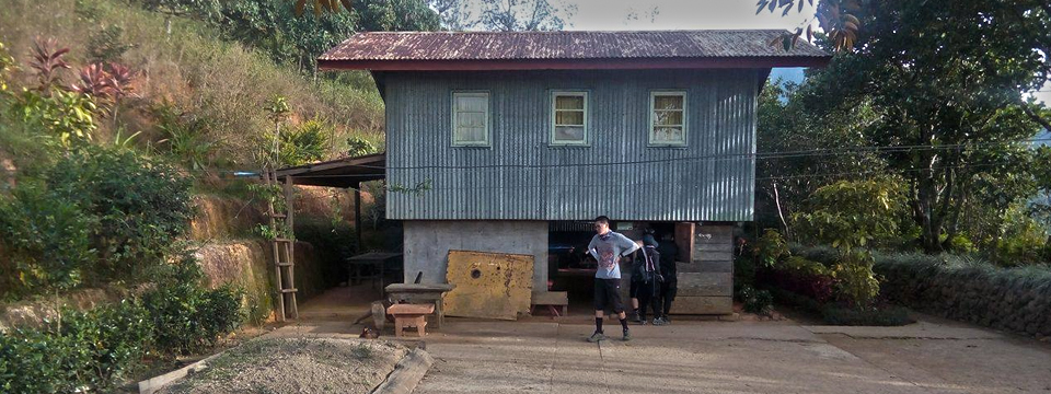
Finally, we reached the waiting shed where we had the view of the summit. The only thing left was the long way to Domolpos and the large ascents to the saddle camp and the summit. I tried running along the trail until we reached the entrance to Domolpos, here I waited for our guide and the rest of the group. Finally, we started the hike up to the saddle camp.
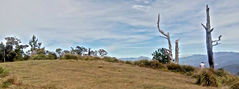
I noticed that I was getting short of breath quicker during this climb. I think it’s because of the elevation, but I was getting tired faster than when I was climbing other mountains (that, or I severely lack training lol). After multiple rest stops, we reached the saddle camp marked with dead trees. I got some nice pictures climbing it and then I laid down on the ground to sleep. Despite being in Benguet, the sun’s rays still demanded to be felt. After a few minutes of sleeping, my hikemates woke me up and told me that we will be ascending to the summit.
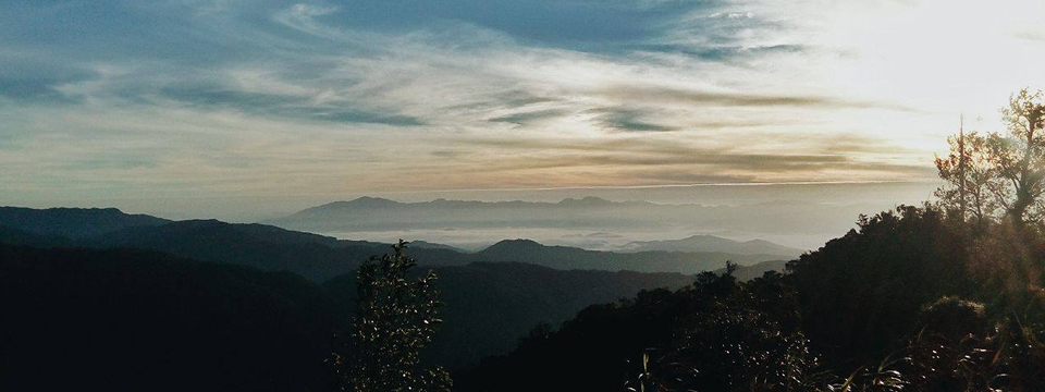
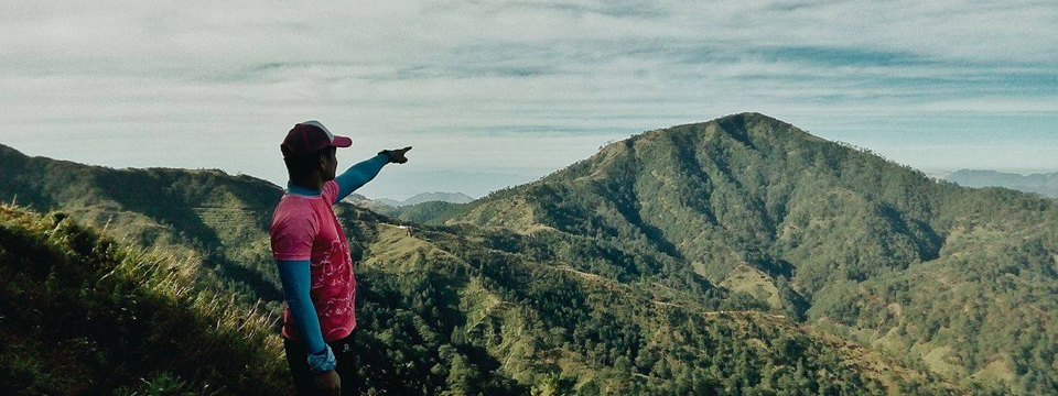
The summit is a 15-minute climb away from the saddle camp. Once we emerged, it was dwarf bamboos all around. The Mt. Ugo summit marker was nowhere to be seen and the guide told us that someone removed it and took it for themselves. That’s weird so we just enjoyed the view and took some summit shots. The summit reminded me of Mt. Tapulao in that there wasn’t really much to look at, but the view of the surrounding area from high up was just lovely.
After we all finished our photo ops, we had our lunch while waiting for the other members of the group. After eating, I laid down once again and caught some sleep. Once the other group caught up to us in the summit, we had our group pictures taken.
Finally it was time to go down, this time through the Benguet side.
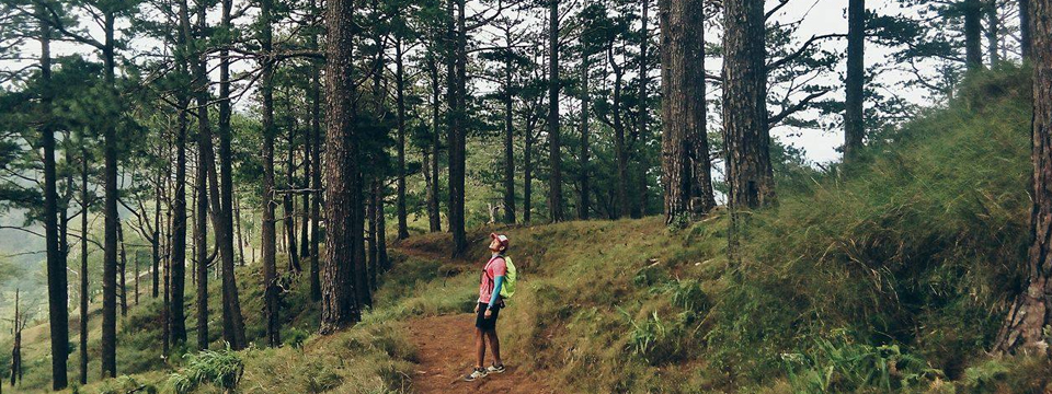
The trail going down to Benguet was long, cold, and beautiful. Pine tree forests, cliffs, slopes, and ledges. This trail was so conducive to running so I really had a great time here. I only stopped to have pictures taken along some parts of the trail.
There were also route markers every 500 meters along the trail so you really know how far away from the jumpoff you are. As night approached, the lead group and I reached the jumpoff and crossed the Tinongdan hanging bridge. We then hitched a ride to Tinongdan baranggay hall were our van was waiting for us. Here we fixed up while waiting for the others. In the meantime, we ate some complimentary bread and FREE Tinongdan barako coffee. This was probably one of the best coffee I’ve ever tasted.
Finally, when everyone was accounted for, we said goodbye to Tinongdan and headed for Baguio city. Here, we ate at the ever-famous Good Taste before heading home to Manila. And with that, I have successfully traversed Mt. Ugo!
Itinerary:
- 05:50 Start Trek
- 07:00 Indupit Village
- 09:30 Domolpos Waiting Shed
- 11:30 ETA Summit, Lunch and Photo-ops
- 14:00 ETD Summit
- 16:15 Lusod Village
- 18:10 Jumpoff
This hike was amazing because of the mamaw climbers I got to climb with. We had very nice pace throughout the climb and it wasn’t very tiring despite the few lapses of oxygen I experienced. And of course, finally seeing the beauty Mt. Ugo has to offer was one of the best highlights of my year-opening climb.
Thank you ate Hannah and Adventure Passport for this opportunity. To sir Christian for the pictures and trail trivia, sir Chekhov, and the other Team Ratrat for the kwentuhan along the trail. Until our next hike!
To my family and the Big Guy for the wonderful opportunity to be high up once again, thanks!
I may have crossed this mountain off my list a bit late, but it was still a climb I’m glad I finished.
Climb safe and wild!
-jgzn
